

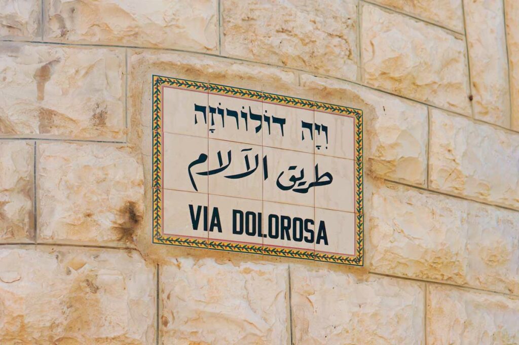
The Way of Sorrows follows a path through the Old City that was set by tradition rather than by evidence. Here is where the route came from, what lies beneath it, and why the walk is still worth taking.
On most Friday afternoons you can watch a procession move through the Muslim Quarter of the Old City, stopping at numbered stations set into the walls, while shopkeepers a few feet away sell bread and phone cases. This is the Via Dolorosa, the Way of Sorrows, walked by Christians for centuries as a retracing of the path from judgment to burial. Fourteen stations mark it. Nine come from the Gospels. Five come from tradition, including the three falls and the woman who wipes the face of Jesus.
Pilgrims want to know whether they are walking where Jesus walked. Answering that means understanding where the route came from, which turns out to be a better story than either yes or no.
Where the route came from
The practice took its present shape slowly, and much of the shaping happened in Europe. Medieval Christians who could reach Jerusalem walked the city. The far greater number who could never make the journey wanted a way to walk it at home. So churches and monasteries built their own sets of stations in their own grounds, and across several centuries the number of stations, what each one commemorated, and the order they came in settled into the form still used today. Franciscan friars, who were given care of the holy places in Jerusalem in the 1300s, then mapped that finished European sequence onto specific streets in the Old City.
That order of events matters. The route you walk grew out of a devotional practice being fitted to a city, rather than out of a memory of a path being handed down. The stations were placed where a large group could stop without blocking the street. And the streets themselves were newer than the events: Roman planners laid out this part of Jerusalem about a century after the crucifixion, and people have been rebuilding it ever since.
Where was Jesus actually tried?
The route begins near the Antonia fortress, on the assumption that Pilate judged Jesus there. That assumption governs everything after it, because the starting point sets the whole line of march.
Many scholars now favor a different spot. Pilate lived in Caesarea on the coast and came up to Jerusalem for the festivals, and a visiting Roman governor would normally stay in the finest house available. In Jerusalem that was Herod’s palace, over on the western hill near today’s Jaffa Gate, with towers, courtyards, and room for soldiers. If the trial happened there, the walk to a quarry outside the northwest wall would have been short, and it would have crossed an entirely different part of the city than the Via Dolorosa crosses.
Both locations have serious defenders. The Antonia held a garrison and looked down on the temple courts, which is exactly where a governor would want soldiers during a crowded feast. The palace had the space and the setting a Roman trial called for. The Gospels use a word meaning the governor’s residence, which fits either building. This one is still an open question among scholars.
The city underneath
There is a second complication, and it is under the visitor’s shoes. First-century Jerusalem sat well below today’s Jerusalem. Rubble, destruction, and rebuilding have raised the street level by many feet in places. Where the modern route runs along the surface, the matching first-century surface lies far below the paving stones.
The best-known example is at the Ecce Homo convent, where a large stone pavement with game boards scratched into it was long shown as the courtyard where soldiers mocked Jesus. Later study dates that pavement to the Roman rebuilding of the city under Hadrian, about a hundred years after the crucifixion. It is a genuine ancient pavement, well worth seeing, and it belongs to the wrong century for the scene it was long attached to.
Put it together and the picture is clear enough. The general direction is plausible. The individual stations are markers for prayer. And the last five stations, which stand inside the Church of the Holy Sepulchre, sit at the location with the strongest archaeological claim in the whole sequence.
What the walk really is
Here is where I push back on the instinct to treat this as a debunking. A pilgrim who learns the route was set by tradition sometimes decides that walking it is a wasted afternoon. That trades something valuable for something small.
Think about what you are joining. Millions of Christians across many centuries have walked these particular stones on purpose, in remembrance, many of them having saved for years to get there. That long practice is a real thing in the world, and stepping into it links you to everyone who loved this story before you were born.
Think also about what the walk teaches that a landscaped memorial garden would hide. The Via Dolorosa runs through a working city. You pass butcher shops and spice merchants, schoolchildren, delivery carts, tourists, and residents going about a Tuesday. It is loud and crowded and ordinary. That texture is much closer to the original week than any quiet path could be. Jerusalem at Passover was packed and busy and commercial, and what happened to the Savior happened inside that ordinary bustle rather than in a space cleared out for it.
So the answer comes in two parts. As geography, the specific route is traditional, the starting point is debated, and the surface is centuries too high. As an experience, the walk puts you inside a practice older than our own country, in a city still going about its business, which is exactly the setting the story took place in.
Come and See
Why have pilgrims walked this route for centuries?
Walk it with us.
| Explore Upcoming Departures | Prepare To Be A Pilgrim |
 |

Sources and Further Reading
- Shimon Gibson, The Final Days of Jesus: The Archaeological Evidence (HarperOne, 2009).
- Jerome Murphy-O’Connor, The Holy Land: An Oxford Archaeological Guide from Earliest Times to 1700, 5th ed. (Oxford University Press, 2008).
